Long Island Motor Parkway Bridge Series #52: The Old Bethpage Motor Parkway Bridge

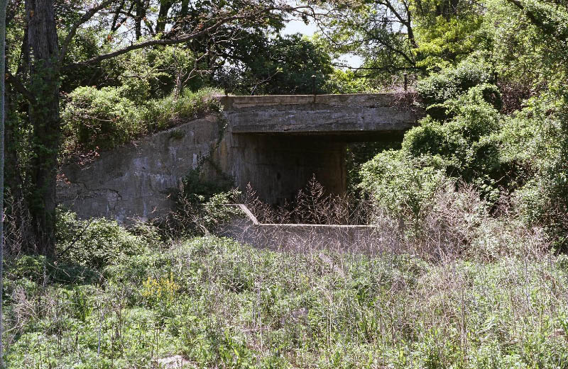
The last Long Island Motor Parkway bridge to be profiled in 2014 is the Old Bethpage Bridge located in the Old Bethpage Village Restoration. This "parkway" bridge was built in 1910, was the last Motor Parkway bridge in Nassau County and one of only two Motor Parkway bridges still standing in the county.
Enjoy,
Howard Kroplick
1907 Surveys
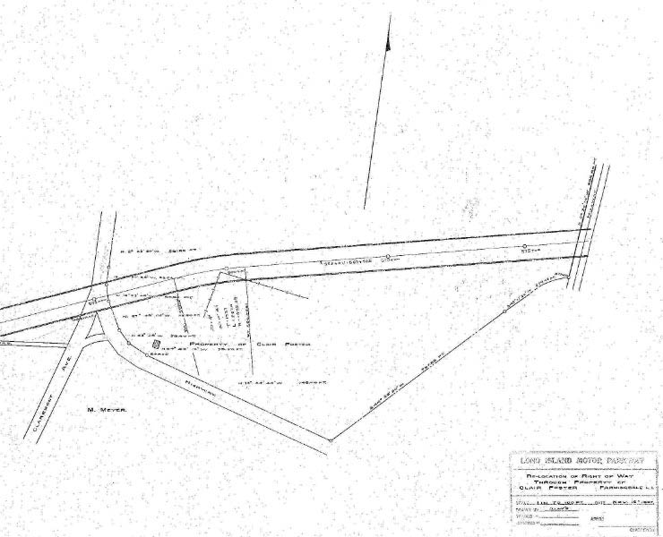
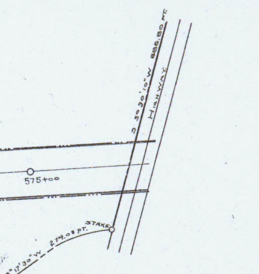
This 1907 survey map shows the Motor Parkway route through the Clair Foster property, located in Old Bethpage. The now destroyed bridge over Claremont Avenue can be seen in the middle of the survey.
The Old Bethpage Motor Parkway Bridge over a proposed highway can be seen on the far right.
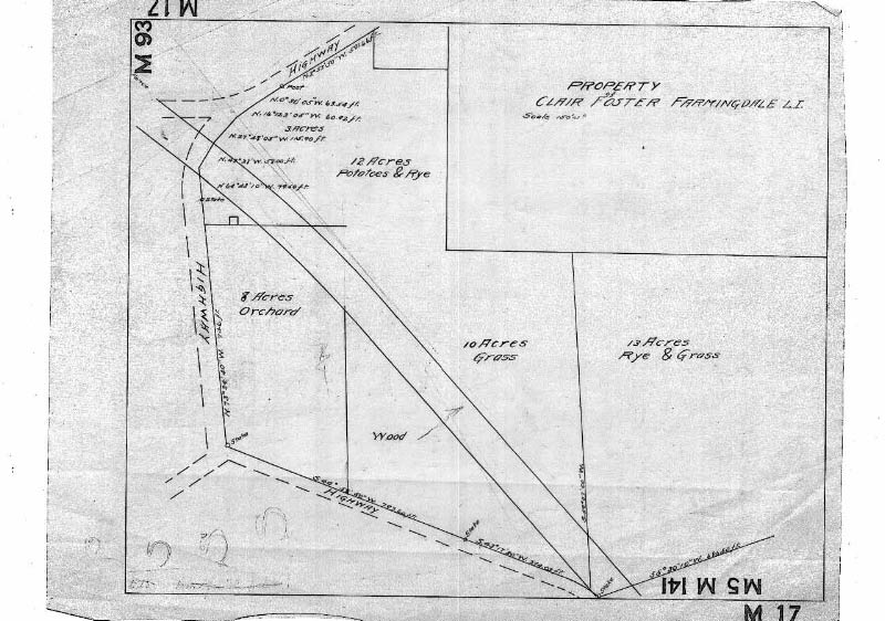
This 1907 survey map showed the landscape on the property.
1928 Motor Parkway Atlas
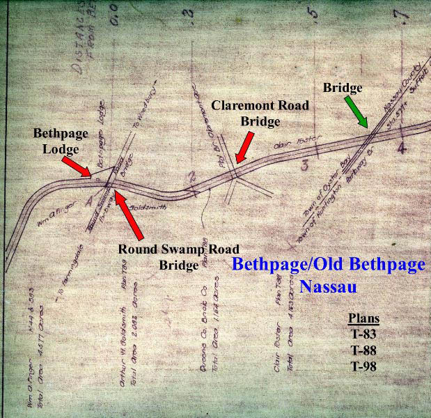
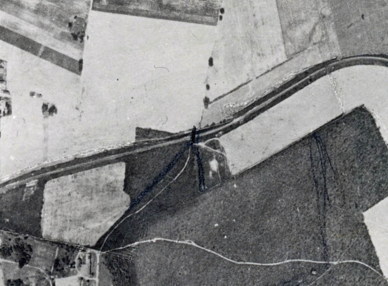
The survey from the Motor Parkway Atlas showed the parkway from Round Swamp Road to the Nassau County/Suffolk County line. Originally planned as a bridge over a future highway, the Old Bethpage Motor Parkway Bridge became a bridge connecting the Clair Foster Farm.
1928 Aerial
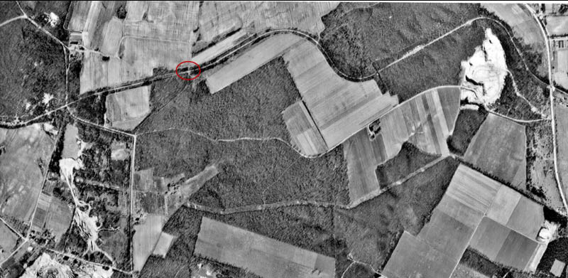
A 1928 aerial form Claremont Road to Broad Hollow Road. From Claremont Road to the Old Bethpage Motor Parkway Bridge (circled), the parkway was a straight path without any major curves.
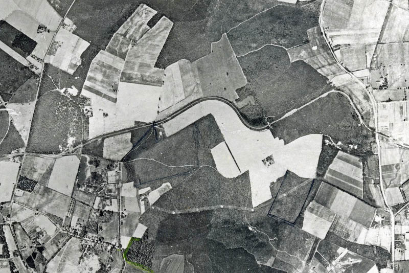
1950 Aerial
The Motor Parkway was still clearly visible in this 1950 aerial of Old Bethpage. Note the Melville sandpit on the right.
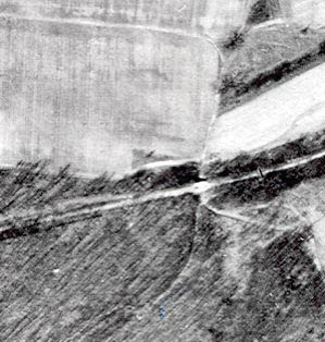
A closer look of the Old Bethpage Motor Parkway Bridge. Note the small road or path beneath the bridge.
1981 Photos
In his tour of the Motor Parkway in 1981, Ron Ridolph documented the bridge.
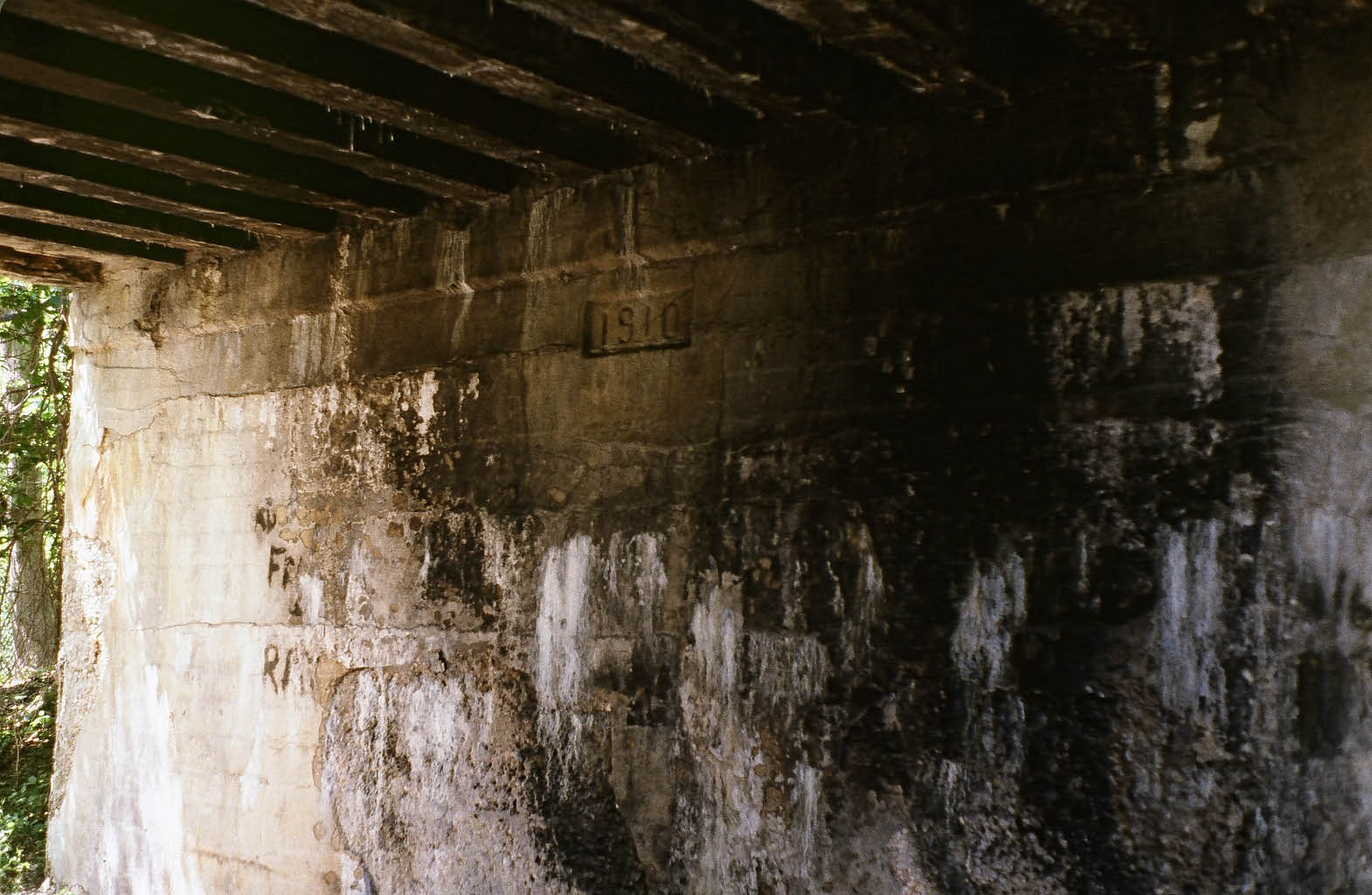
The 1910 date of construction.
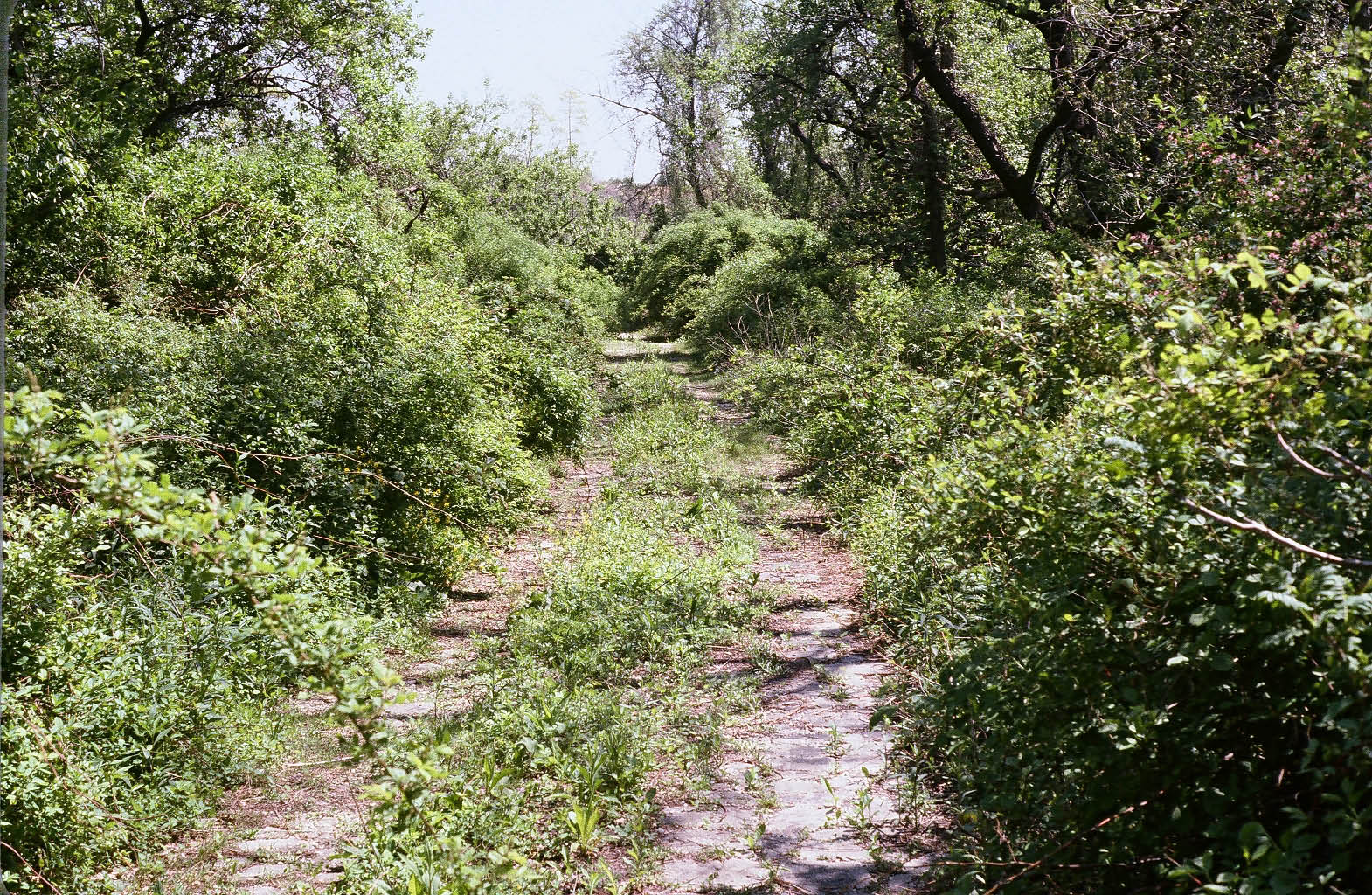
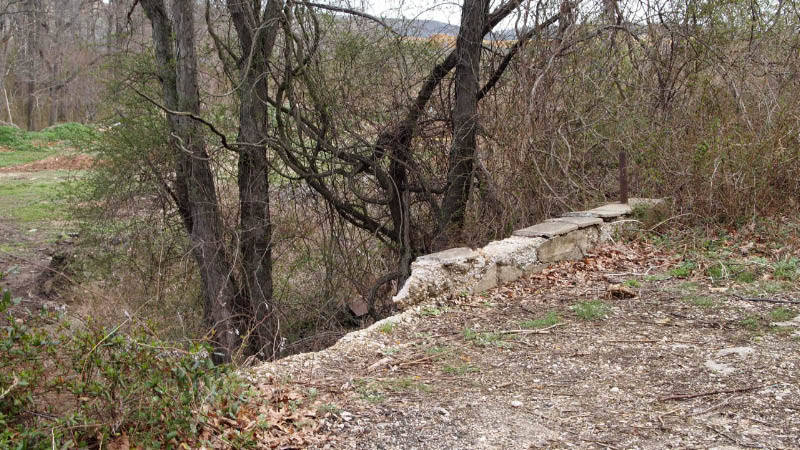
Remnants of the Motor Parkway pavement.
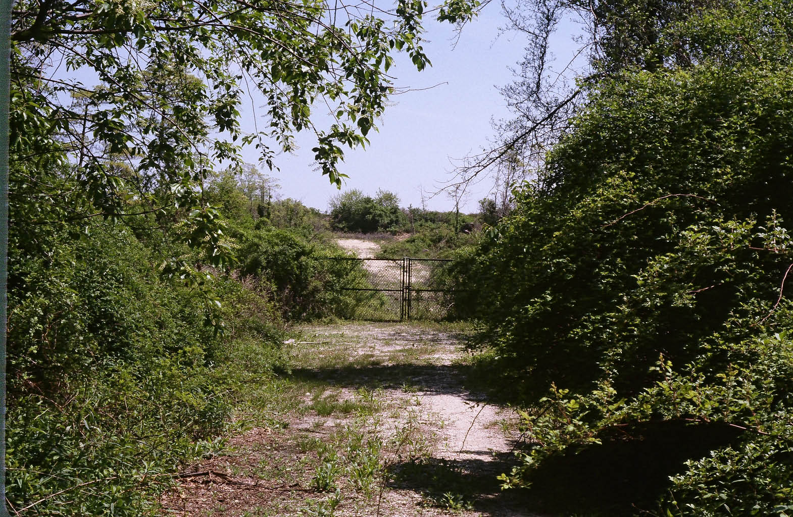
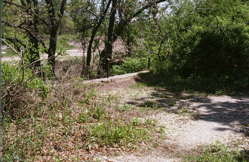
The gate at the Nassau County/Suffolk County borderline.
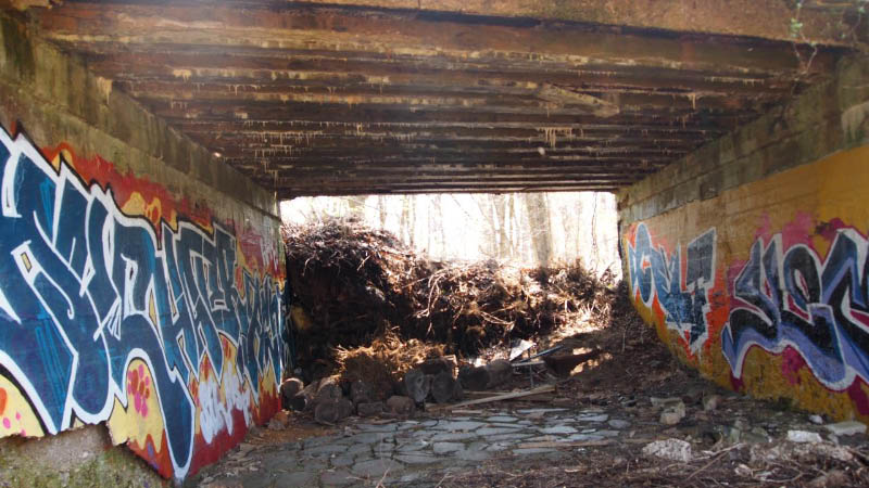
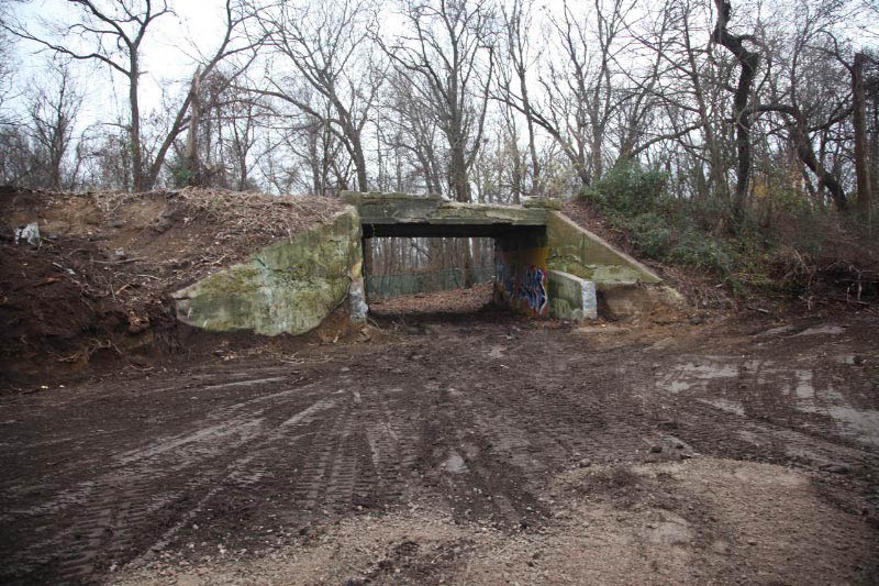
2005 Photo
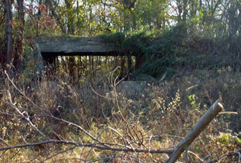
My first view of the bridge.
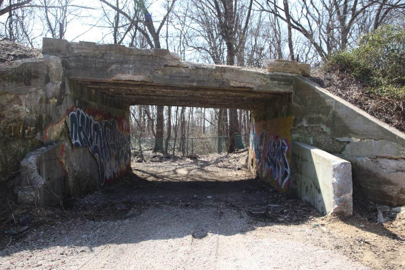
2008 Photo
2011 Photos
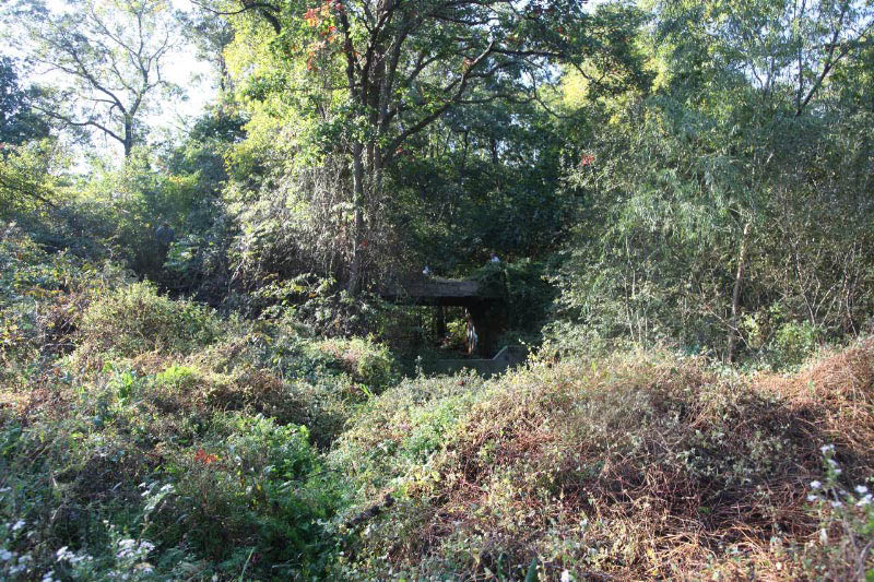
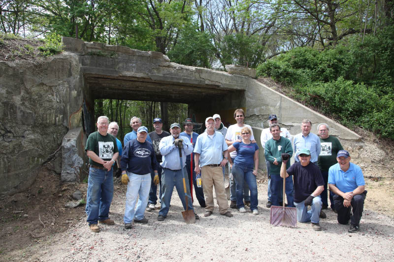
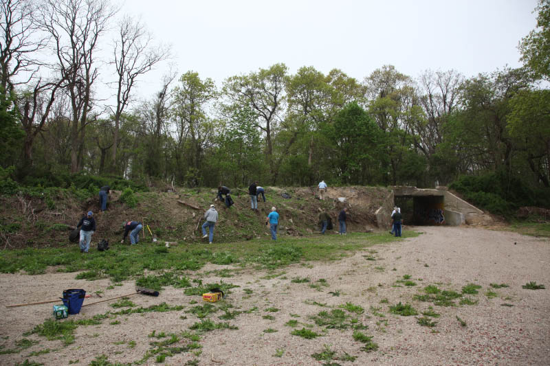
In 2011 and 2012, the bridge was cleaned and restored by members on the Long Island Motor Parkway Preservation Society and the Ford Model A Club of Long Island.
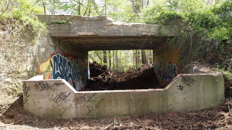
October 2011 to 2012 Photos
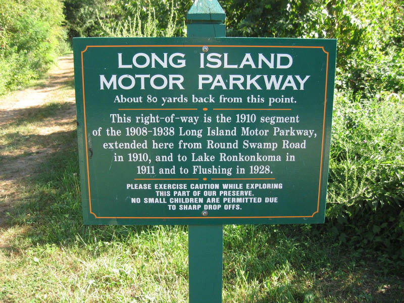
"Now" Google Map
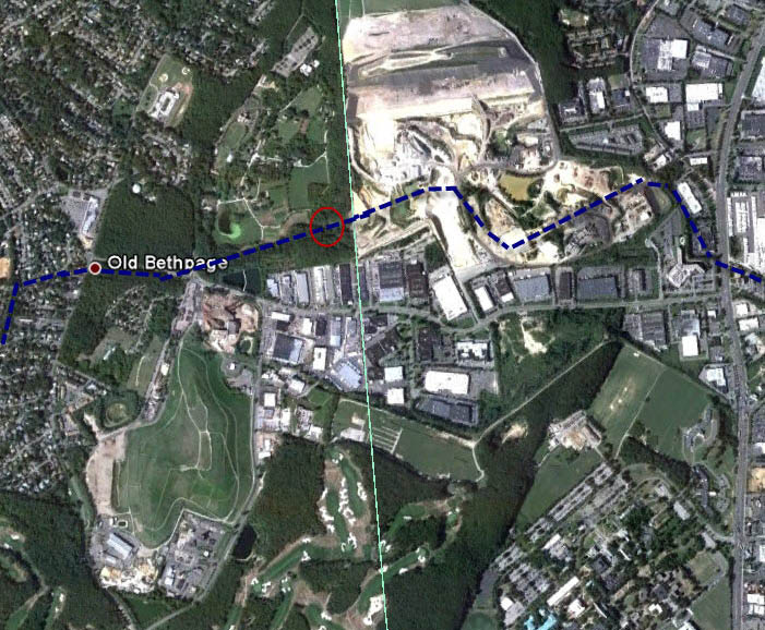
Check out Wayne Consolla's online Motor Parkway map, to find the location of the Old Bethpage Motor Parkway Bridge . Note the size the size of the Melville sandpit compared to 1950.


Comments
Nice job on the bridge guys! It may be used someday enroute towards Lake Ronkonkoma. Who knows? This ought to be good!
Great interesting research guys, I’m recently retired and I mountain bike In Bethpage Park and have thought about trying to find the existing overpass, I’m not sure best place to gain access to it, I tried to click on the maps link but it wouldn’t open, I think I’ll be able to find it even without that somehow. Thanks for all the info you’ve posted on your site including the old surveys. I vaguely remember seeing an overpass inside the park when i was a kid picnicking with my family in probably the late 1960s, but I think that one was demolished.
Frank - You may be remembering bridge abutments that were within BSP up until the late 1980’s. Just north of this area is Schoolhouse Rd & JoAnne Dr. Below is a photo of a blog here on the site. Exploring couple that took this photo were looking south, with their car parked on the LIMP itself. Was considered a Farmway Bridge, since the LIMP went through the farm property.
Frank VanBrunt, the Motor Parkway online map is still active, including the Bethpage State Park area. Reach me at .(JavaScript must be enabled to view this email address) for a map link.