From the Ron Ridolph Collection- Then & Now: Motor Parkway Lodges
When Ron Ridolph walked the Long Island Motor Parkway in the 1970s and 1980s he documented four toll lodges that were still standing...or was it five? Here are my "Then" photos as compared to Ron's "Now" photos circa 1970 to 1981.
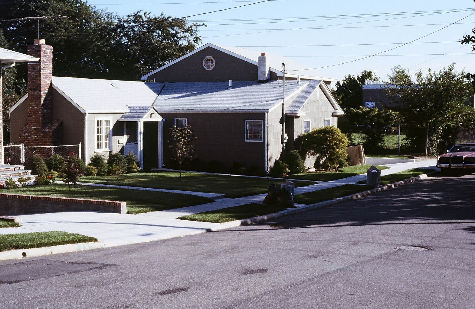
Great Neck Lodge, Lake Success
Great Neck Lodge in 1911
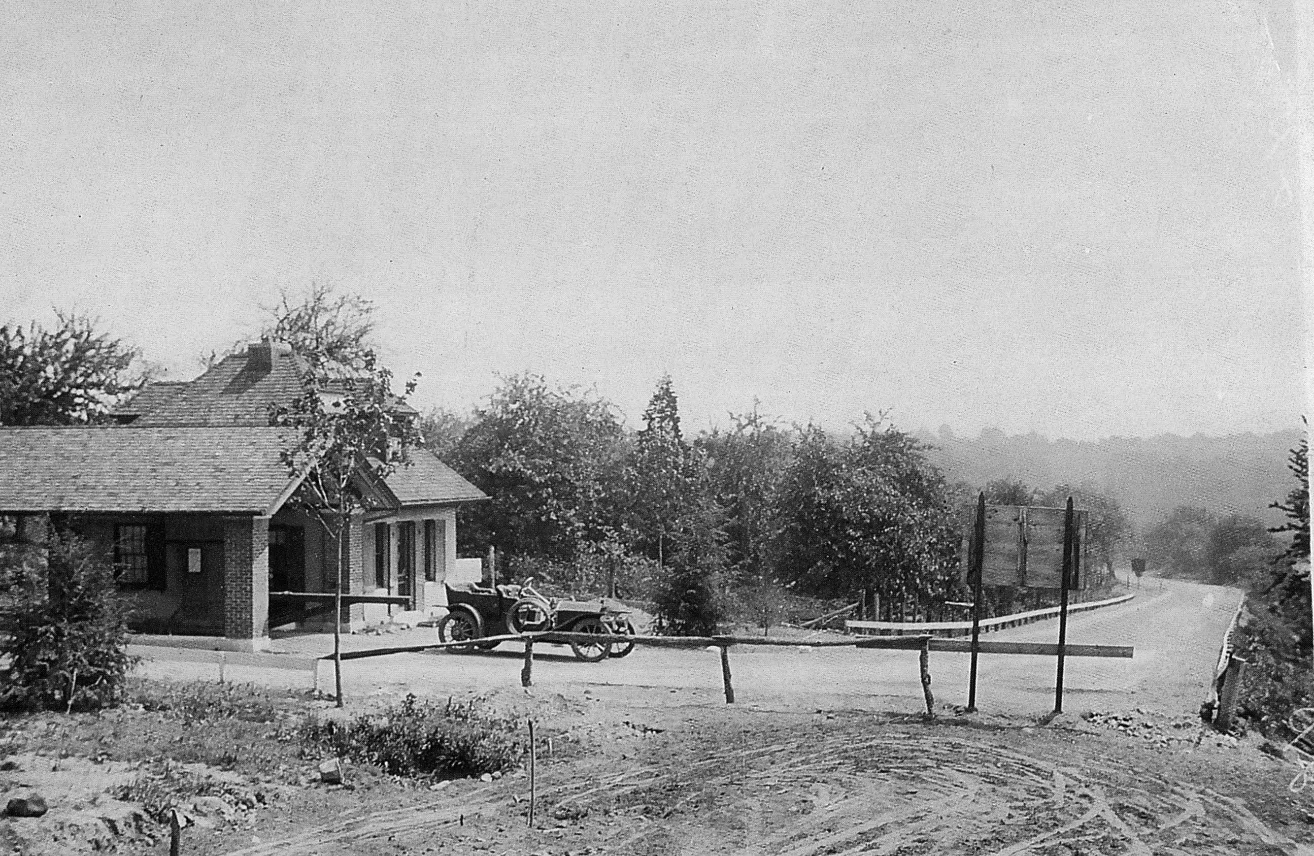
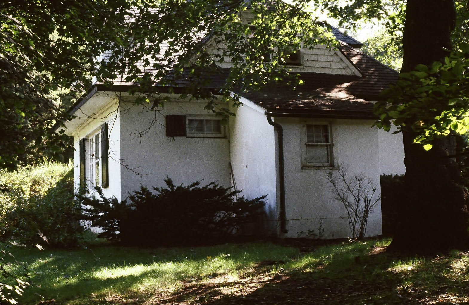
Roslyn Lodge, East Williston
Roslyn Lodge in 1920s

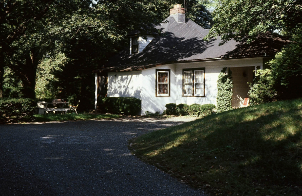
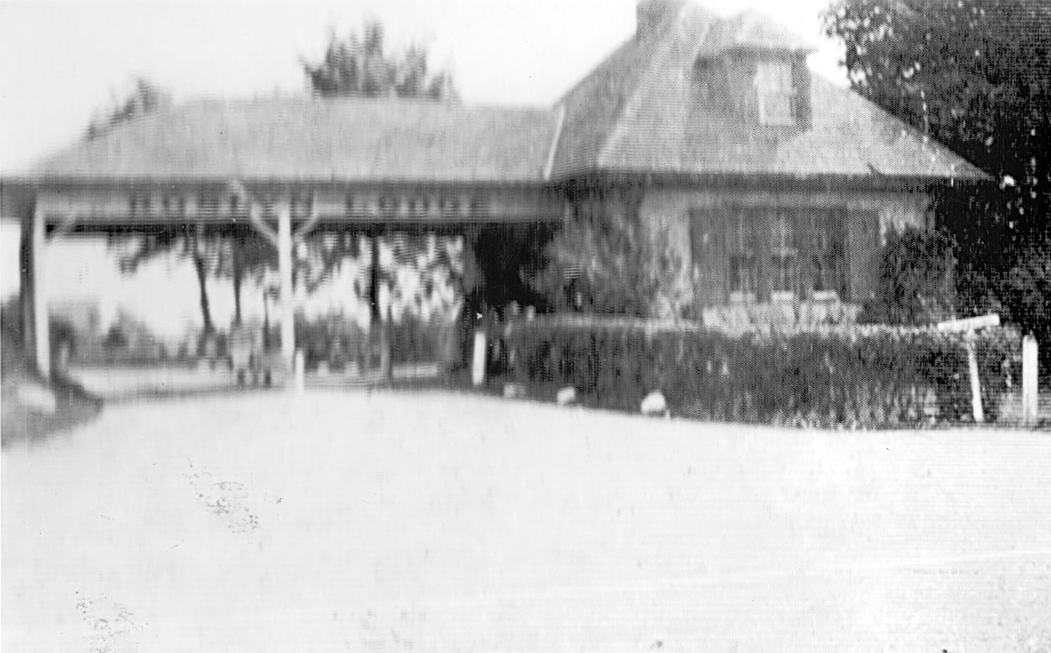
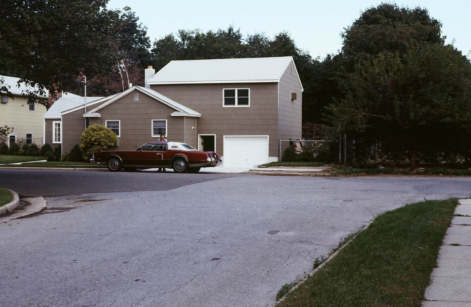
Mineola Lodge, Mineola
Mineola Lodge in 1930s
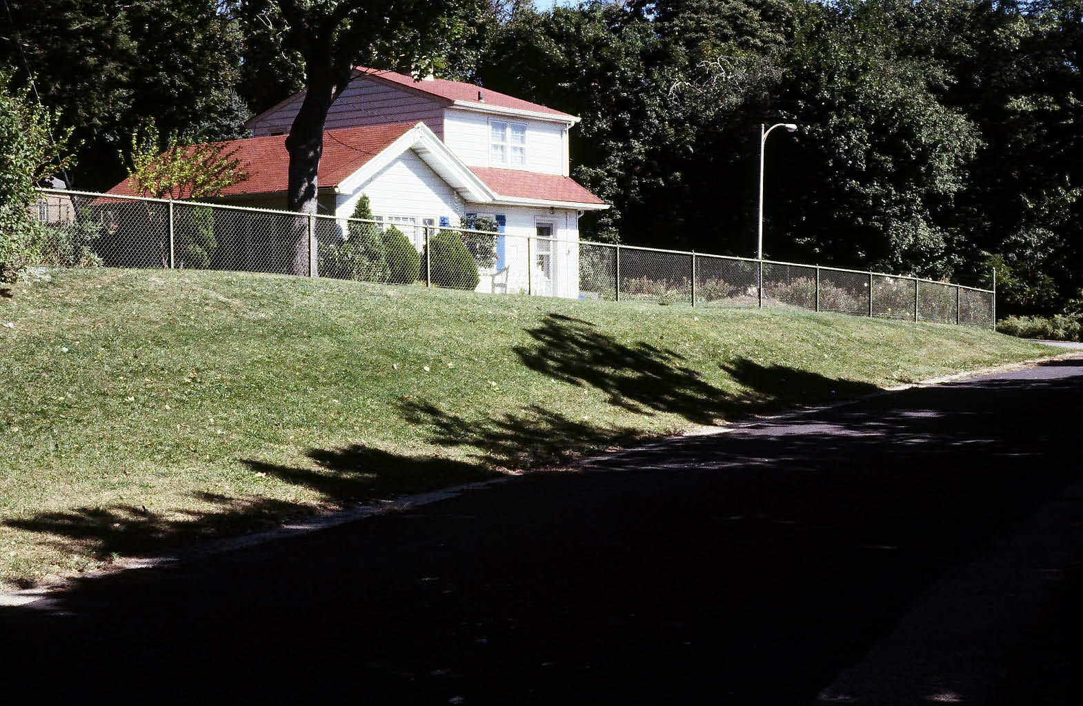
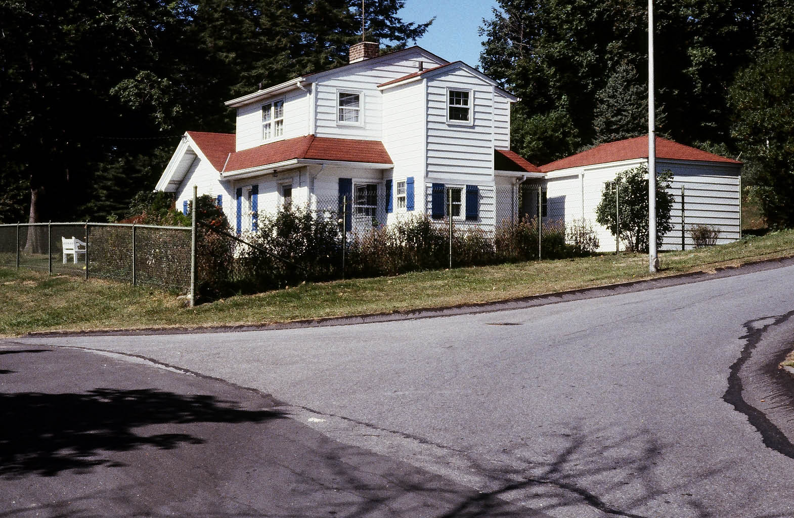
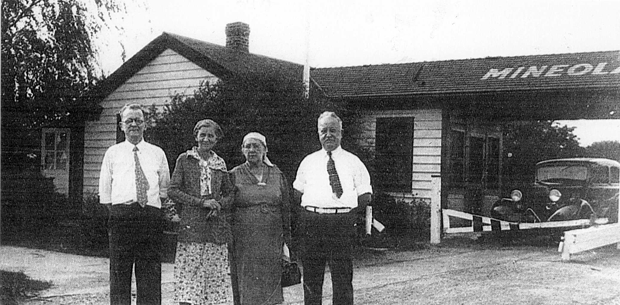
Garden City Lodge, Garden City
Garden City Lodge in 1935.
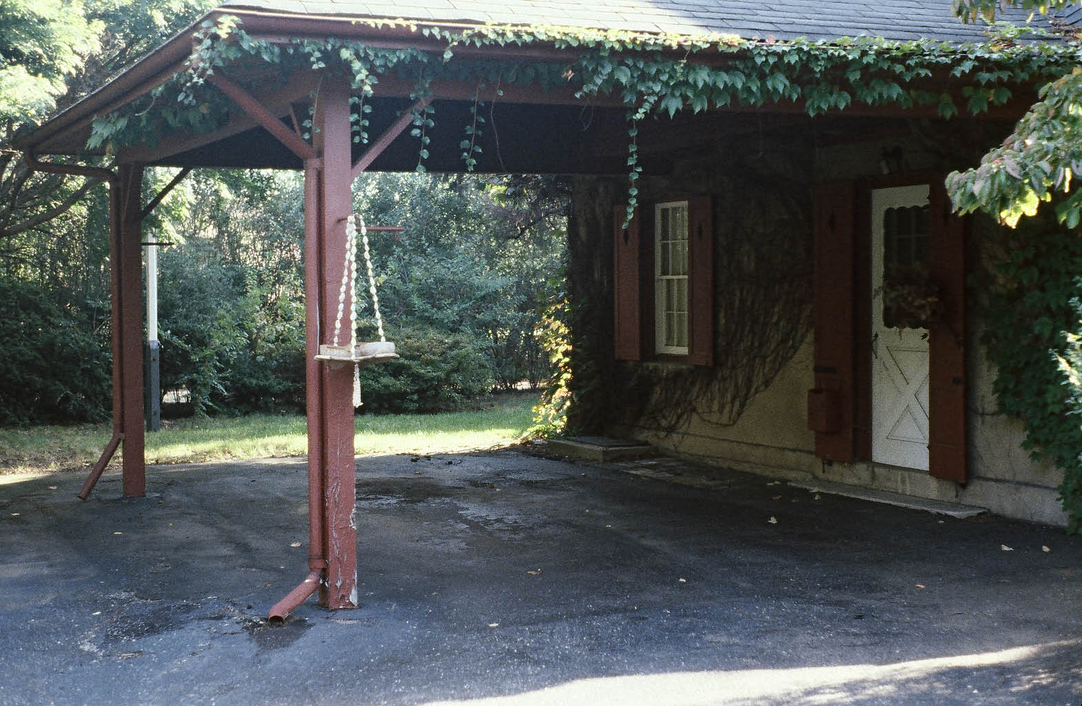
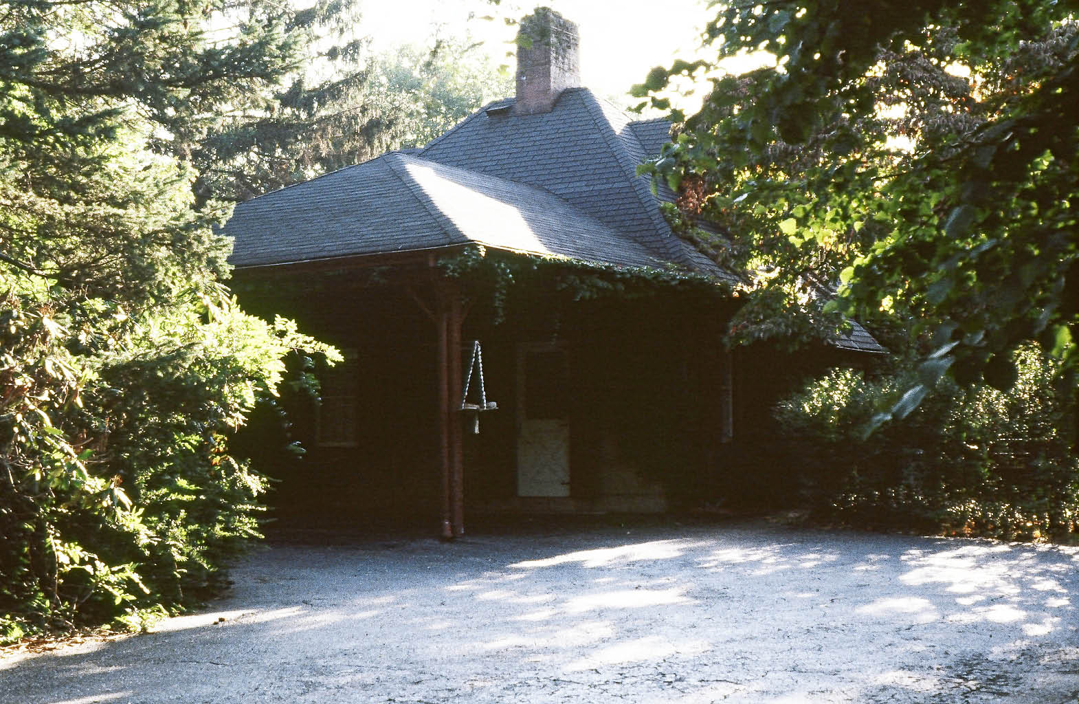
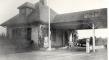
Huntington Lodge?, Melville
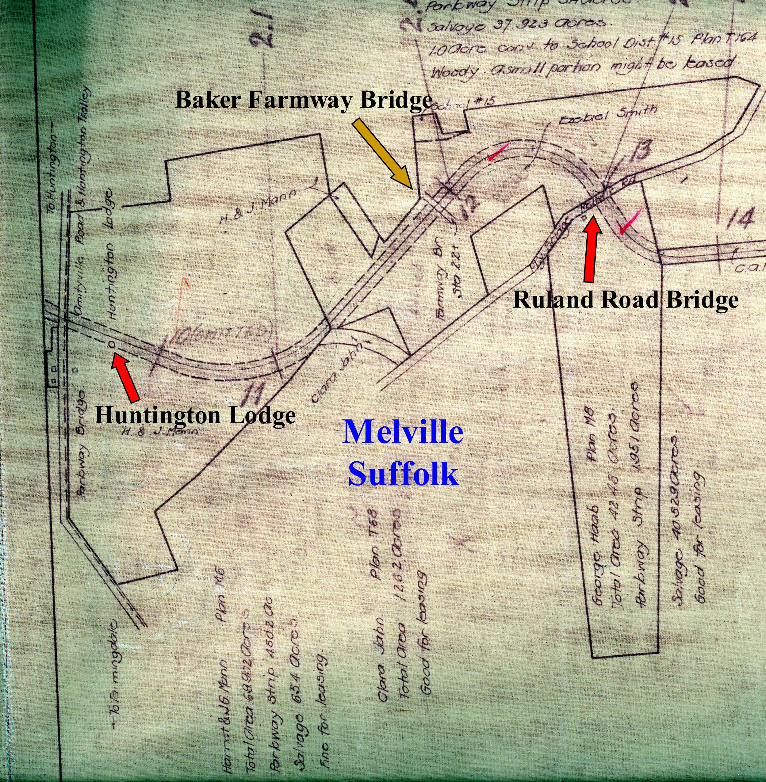
As indicated by this Motor Parkway survey, the Huntington Lodge was located east of Broad Hollow Road (Route 110) in Melville. To date, a photo of this lodge has never been discovered.
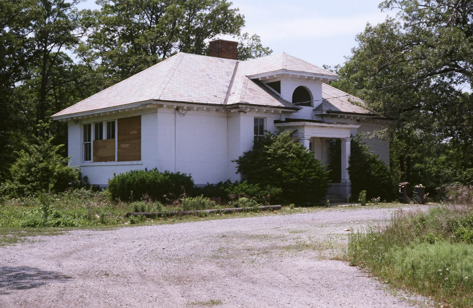
At this location, Ron Ridolph found this building. Was this the elusive Huntington Lodge? If anyone has additional information on the building, please leave a comment below.
Links to related VanderbiltCupRaces.com posts:
Ron Ridolph Collection: Images of the Long Island Motor Parkway
The 20 Toll Collection Structures of the Long Island Motor Parkway
Archives: Motor Parkway Toll Lodges
Archives: Long Island Motor Parkway


Comments
Your question as to the Melville lodge in respect of the foto. Don’t know, because if this building is off Baylis or Duryea Roads, it might be the little old school house in Melville, that is if there is also a full set of windows on the far side of the buildidng from those which are partially covered—like two school rooms?.
Any other fotos of the LIMP going East or of the immediate area? There was an orphanage for girls on Ruland Rd, St. Rose Industrial School, and the nuns used to take the trolley to Farmingdale, and we had a small farm just South of Ruland Rd on West side of Broad Hollow Rd.
Edith
From Brian McCarthy: What a great site this is! I particulary like viewing the old pictures of the parkway and toll lodges then and now. I’m a utility worker for National Grid, based out of Hicksville. So I’m very familiar with the electric transmission tower and pole lines that are nearby the parkway remnants. I don’t recall who lead me to the historicalaerials website. Some of the aerial maps go back to the 1950’s, and the parkway route is shown very clearly in those years. The area east of Rte.110 in Melville shows some houses? just south of the parkway. Perhaps one of these buildings was the Huntington Toll Lodge? The 1980 aerial map shows those houses gone, with larger office buildings in place. I’ll have to poke around there at some point. You run an excellent site, Howard.
Sincerely,
Brian D McCarthy
Hi Edith & Brian:
Thanks for the comments.
Brian, above is the 1953 aerial from http://www.historicaerials.com/Default.aspx
. It is likely one of the black spots is the Huntington Lodge. Now let’s find a close-up.
Howard